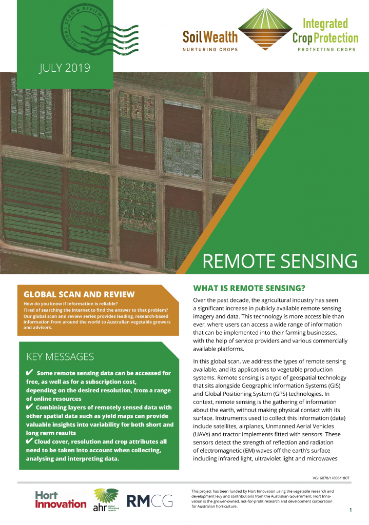
Remote sensing: Global scan and review
Over the past decade, the agricultural industry has seen a significant increase in publicly available remote sensing imagery and data.
Remote sensing is a type of geospatial technology that sits alongside Geographic Information Systems (GIS) and Global Positioning System (GPS) technologies.
This global scan and review from the Soil Wealth ICP project covers the types of remote sensing available, and its applications to vegetable production systems.
Click here to download this resource.
 This resource has been delivered as part of the Hort Innovation-funded Soil Wealth and ICP project – jointly delivered by RM Consulting Group and Applied Horticultural Research.