How satellite imagery provides on-farm insights
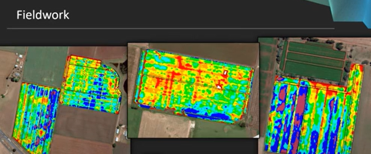
This presentation from the Soil Wealth ICP project highlights the general approach and results generated from using high resolution, multispectral satellite imagery to predict total carrot root yield in three vegetable growing regions.
The imagery was also used to investigate yield variability within the fields – and the results are out of this world.

