Optimising yield prediction in vegetable crops with levy-funded research
This update was provided by the Queensland Department of Agriculture and Fisheries, and is an abridged version of a full article which previously ran in the September/October 2018 edition of Vegetables Australia.
The project
Adoption of precision systems technologies in vegetable production (VG16009) is a national project funded by Hort Innovation, which commenced in early 2017. The project has a central focus around adoption by demonstrating how commercially available technology can be utilised and optimised in vegetable production systems.
This project is led by the Queensland Department of Agriculture and Fisheries (DAF QLD) and has a number of collaborators including the University of New England (UNE), Tasmanian Institute of Agriculture (TIA), Harvest Moon, Primary Industries and Regions SA (PIRSA), vegetablesWA and the Society of Precision Agriculture Australia (SPAA). Project collaborators are members of the reference group, with grower representation from the demonstration sites.
The project aims to support the adoption of PA technologies by demonstrating their potential benefits in vegetable systems. The key questions that drive the focus of the project and demonstration site work are:
- Is there field variability?
- Is the observed/quantified variation having an economic impact?
- Can this variability be understood and managed?
- Are current management practices/equipment suitable for addressing any variation?
- Will a precision approach elicit a yield/quality response?
- What is the return on investment?
The technologies
The technologies that are being trialled and demonstrated in Australia include: crop sensing platforms (satellite and Unmanned Aerial Vehicle (UAV)) and their application to vegetable systems; yield monitors; yield prediction from crop-sensing imagery; EM38 soil mapping; precision drainage technologies; and variable rate applications.
Crop-sensing imagery
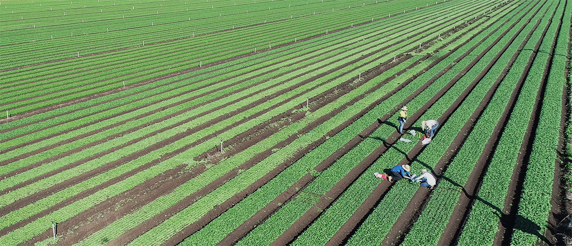
By assessing spatial variability in crop performance, project staff are able to ground-truth crop-sensing imagery, identify potential causes of variability and measure the impact on yield. Understanding the impact and cause of variability assists growers in making informed management decisions and assessing if these decisions would be cost effective.
The project is also looking at using high-resolution satellite imagery to predict yield in carrots and sweet corn from crop reflectance data. If yield prediction is possible from early-season crop imagery, this would provide valuable information for yield and market forecasting, as well as harvest labour and logistics.
With the increasing level of interest in UAV technologies, the project is also evaluating the application of UAV imagery to vegetable systems. This includes assessing spatial variability and crop performance, as well as yield estimates in crops that are currently without yield monitoring technologies, such as broccoli and lettuce.
Yield monitoring
Horticulture harvesting equipment lacks yield monitoring solutions developed by the equipment’s original manufacturers. However, after-market load cell based, georeferenced options are commercially available and can be retro-fitted to a range of existing vegetable harvesting equipment, such as those for potato, sweet potato and carrot crops.
The project has retrofitted three load cell based yield monitors on carrot harvesters in Western Australia, South Australia and Tasmania. This yield data allows growers to determine spatial variability at harvest, which can inform the development of profit loss maps and can help growers assess the effectiveness of their farm management decisions.
Soil mapping
Electromagnetic induction (commonly referred to as EM) detects soil electrical conductivity (EC). It is a cost-effective option for detecting spatial differences in moisture, clay content and salt levels in soil. It is being used within the project to define soil type or textural boundaries and possible constraints associated with salt levels. The resulting maps are calibrated or ground truthed to understand the actual differences between zones by conducting a series of strategic or zonal soil sampling for electrical conductivity, soil moisture and soil texture. This technology has been used in the project to understand:
- Soil constraints impacting on productivity.
- Spatial soil type variation to inform earthworks and field development.
- Soil textural differences to inform potential variable rate irrigation zones.
Communication and extension plans
The demonstration sites from this project have now generated sufficient data to begin developing case studies, and the project is engaging with VegNET to promote project results and collaborate on extension and communication activities. This includes grower updates and forums, workshops and distribution of case studies and factsheets.
For more information about the project, click here to e-mail Celia van Sprang from the project team.
This post appeared in the AUSVEG Weekly Update published 22 January 2019. Subscribe to the Update using our online form to receive the latest industry news in your inbox every week!
