Remote sensing for your vegetable farm
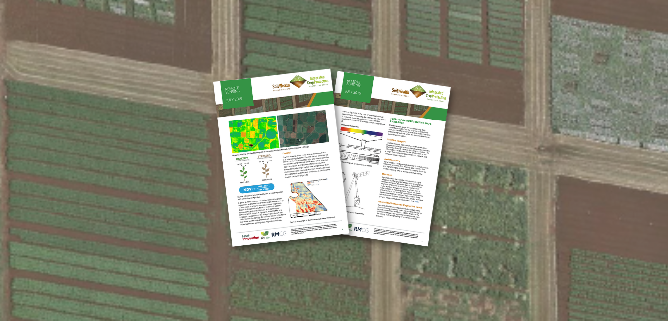
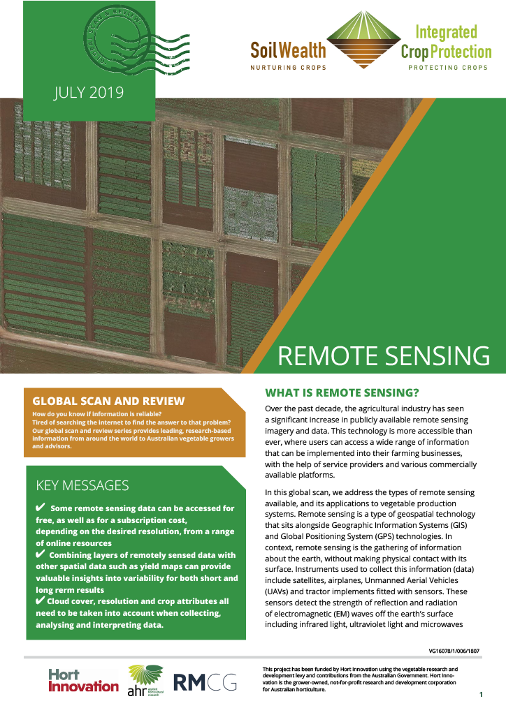
Remote sensing imagery and data have become more accessible than ever, allowing users to access a wide range of information that can be implemented into farming businesses.
Remote sensing is a type of geospatial technology that sits alongside Geographic Information Systems (GIS) and Global Positioning System (GPS) technologies.
In this global scan, the Soil Wealth ICP team addresses the types of remote sensing available and its application to vegetable production systems.


